No fear though, I bring extra internet weather finds before Today's update.
 |
| This is actually a long exposure picture but they are in fact La Palma Clouds. I defer to wikipedia for an explanation, " La Palma receives almost all of its water supply due to the mar de nubes (sea of clouds), stratocumulus cloud at 1,200 m (3,937 ft)-1,600 m (5,249 ft) altitude, carried on the prevailing wind which blows from the north-east trade winds. The water condenses on the long needles of the trees and other vegetation, it then either drips onto the ground or runs down the trunk etc., into the ground. Eventually it collects inside the rock-strata, and is then drained via the galerias into aqueducts and pipes for distribution. The galerias have been cut into the rocks over centuries." |
 |
| Here is a picture captioned, "Tornado formation in my backyard." OP is from Kansas. This Link is to an interesting GIF of a large thunderstorm that formed off the coast of Florida. |
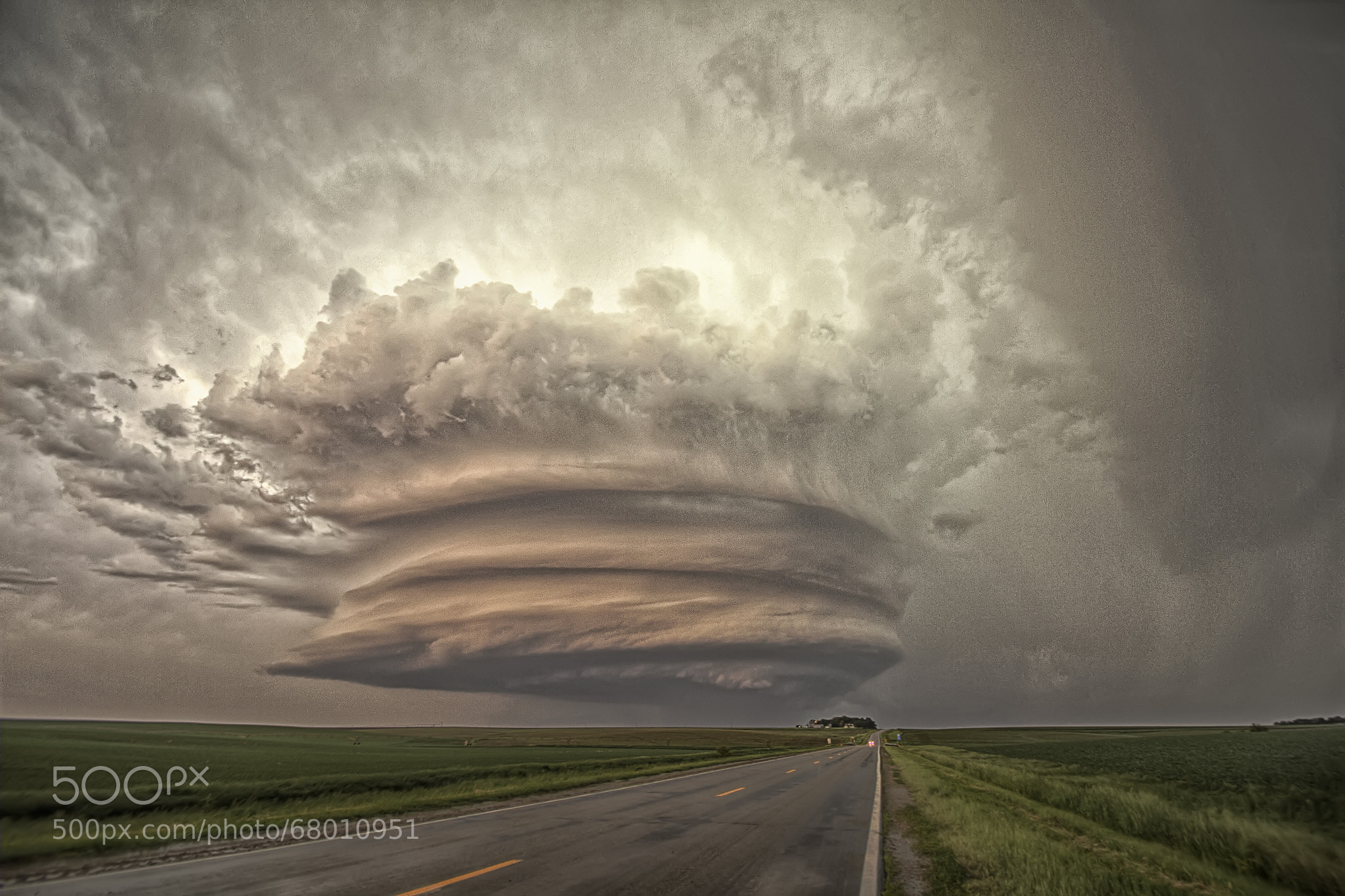 |
| "Titan"-Nebraska
Now for the actual weather report, we begin as always, with the Current Surface analysis...
 |

The jet stream shows high wind speeds in Baja Mexico and those same bands are currently traveling all the way up to the northern half of Minnesota. This current pattern will bring us the warm temperatures that we haven't seen since early September. Of course the warm weather brings moisture to the air and when mixed with the cold low pressure system up in the rockies that's bound to travel east, storms will emerge.
We shall see tomorrow how the low pressure systems react to the current and expected conditions.
No comments:
Post a Comment